The alarm clock crowed rudely at 4:00 AM. On a Saturday. I fought back by hitting the snooze bar a couple of times.
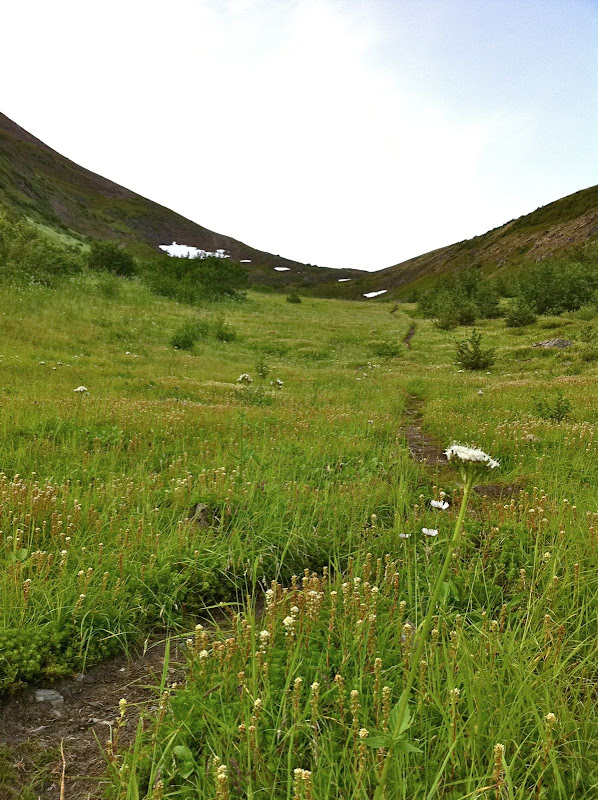
The Penguin Ridge hike has been on my to-do list for a long time. Tim Kelley first recommended it to me years ago. Like many other local Chugach hikes, I always figured that some weekend, when I had a little extra time, I’ll knock it off my list. But, funny thing, when you have two little rugrats there is never “extra time.” I decided to start at an ungodly hour, so that I could be back on Dad duty by lunch. I left the Bird Creek parking lot just after 5:30 AM.
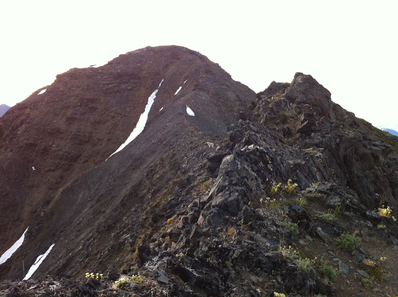
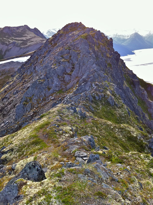
I knew from previous reports that this ridge offered a lot more vertical and a lot more scrambling than what you can see from the road. But even so, I was surprised how much scrambling there was. I thought that once I got a mile or two past Penguin Peak, I’d be tundra-running the rest of the way. Nope. I should have known better – after all this is the Chugach. The ridge is narrow, rocky and loose enough that you need to go slow, watch your footing, and occasionally scramble, all the way from Penguin Peak until you are directly above the Girdwood turn-off on the highway.
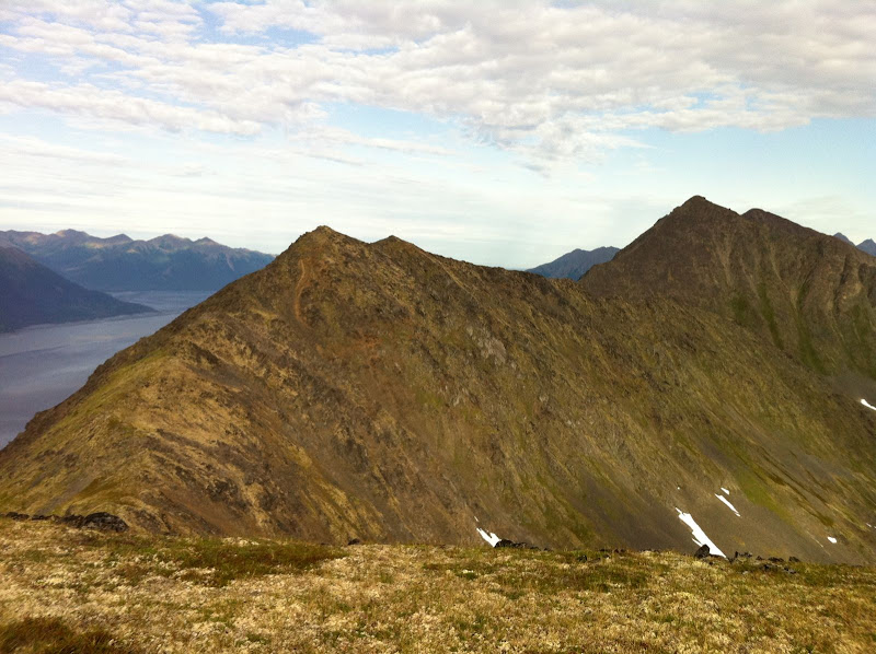
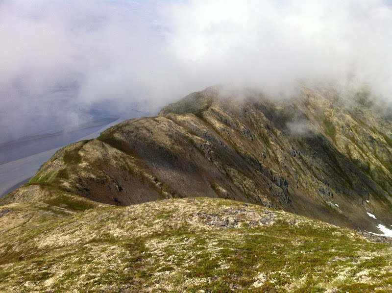
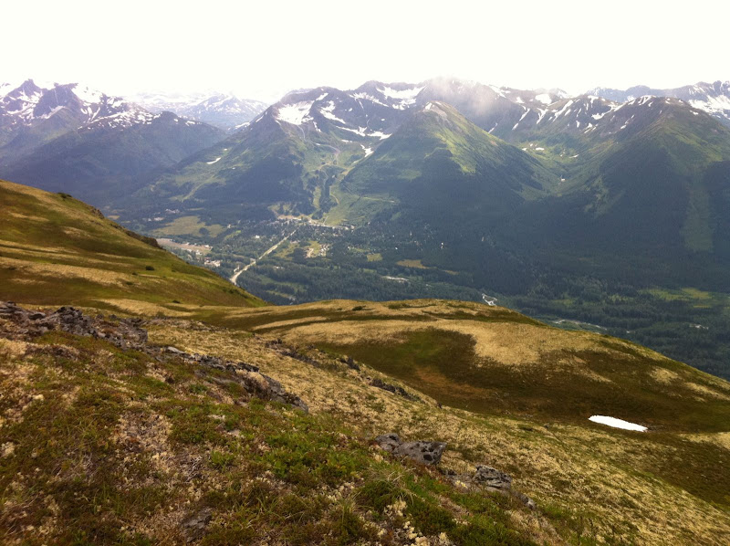
I briefly thought about descending here, as Roman suggests. But I couldn’t resist the urge to see what was around the next corner, then the next… I’m glad I kept going, because the terrain got easier and I could move faster, as the ridge headed northeast, paralleling the road into Girdwood. The terrain is a lot more nuanced here, a wide ridge with lots of tundra-covered rises, depressions and a beautiful lake. Great for running. The scenery is better too, as you are looking away from the highway and into the heart of the Chugach.
 Penguin Ridge Hike – IMG_1212.JPG
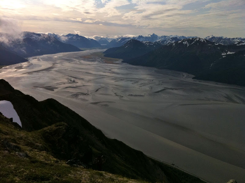
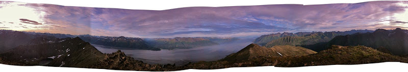 360 degrees from the top of Penguin Peak
 Penguin Ridge Hike – IMG_1214.JPG
 Penguin Ridge Hike – IMG_1215.JPG
 Penguin Ridge Hike – IMG_1217.jpg
 Penguin Ridge Hike – IMG_1222.JPG
 Penguin Ridge Hike – IMG_1225.JPG
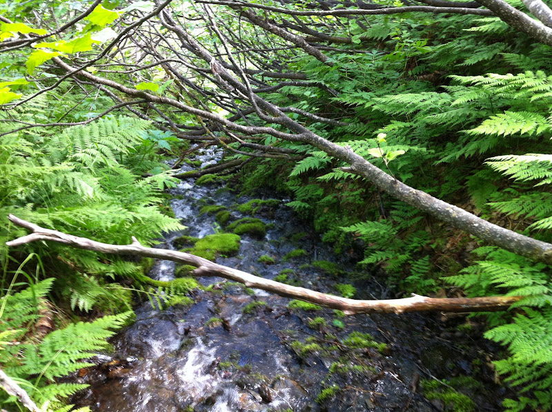
I knew that finding the California Creek trail for the descent was going to be difficult because it is very over-grown. I never did find it. After wandering above brush-line for almost an hour, I finally gave up and picked the drainage that had the shortest distance between open tundra at the top and evergreen canopy at the bottom. Once in the drainage, I found the easiest thing to do was walk in the creek. The California Creek valley is notorious for bears, so I was yelling constantly to overcome the noise of the creek. So, yes, I was doing the same thing these kids did just a few hours later up in the Talkeetnas. [ Shudder ] Just when my feet were going numb from the water, I arrived in the spruce and hemlock forest, which was open for fairly easy walking. I quickly hit “Abe’s Trail” which took me to the California Creek trailhead. It turned out to be a very mild descent by bushwhack standards, and possibly better than the overgrown trail would have been.
I jogged into town and met the family, who had been playing at the Girdwood playground. Unfortunately for them, Dad was a little less than energetic that afternoon.
View Map & Stats on Endomondo
15 miles, 8 hours (includes one mile/one hour of wandering to find Ca. Creek trail)
Notes:
I was glad I went west to east, so that I hit the rocky stuff early when I was still fresh. I was hiking into a decent headwind the whole way, but it wasn’t a big deal. It is nice to end in Girdwood and grab some food. A classic Chugach hike, spoiled slightly by the sight and sound of Seward Highway traffic along the way.
